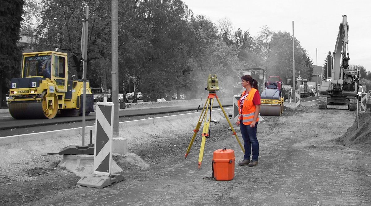
Current-state-survey Planning fundamentals
As a basis for the first plannings, related to the current location, an architect needs a survey of the existing environment, land, buildings (facades, Indoors), wired infrastructures, of roads, of shorelines, of property boundaries and more.
In the field of engineering geodesy there are different accuracy requirements the surveyor has to handle. The desired specifications will be discussed with the client in advance.
Once the tasks and the scope of work are clear, the ideal measuring methods are chosen based on the specific requirements.
The resulting plan contains all requested relevant topographical information and elements, such as relief heights, vegetation situation, building situation, including ridge and eaves heights, nearby roads, supply and disposal lines as well as the current cadastre.
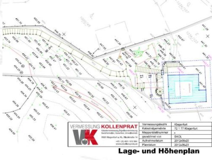
Note: The position of the property boundaries is not always marked with boundary markers. For nearly all construction projects the exact location of the boundaries is essential. A certificated Civil Engineer provides the necessary informations about the property boundaries.
If an current-state-survey is no longer possible, but according to the task required, we will take a look at historical data sources. The historical aerial and orthophoto archive of the BEV and the provincial administration archive could help you with some laser scan analysis.
Different types
⧉ Building Surveying (construction survey)
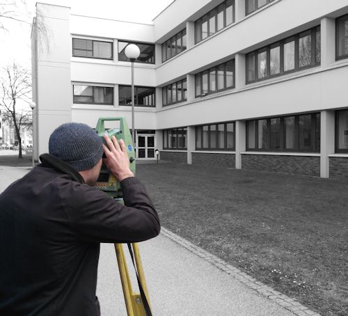
The building Surveying deals with all types of buildings, both outdoors, including facade shooting and roofscape as well inside buildings or plants. Your benefits:
⧉ Bridge Surveying
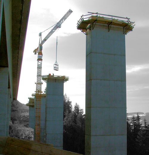
Bridges are usually larger and more complex objects, where increased measurement precision must be present.
Regular measurement processes and control measurements on the construction site as well as a careful handling with the stakeout points and insurance points is required.
Our office had to handle more than 150 bridge projects.
⧉ Terrain Surveying
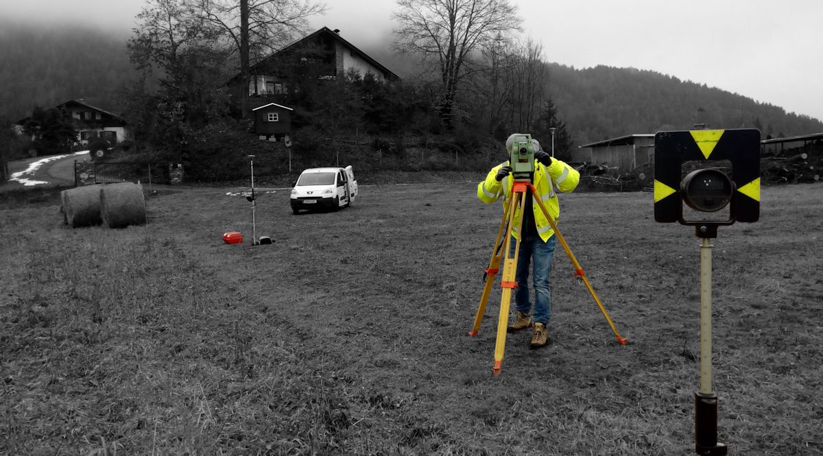
Trigger for ground surveys may be project plannings and structural or natural changes of the terrain (rockfall, landslide, ..).
Before we begin our work, we are researching existing data. Often it is possible to reduce the effort through the integration of existing data. (data must be accurate and updated enough)
⧉ Water Surveying
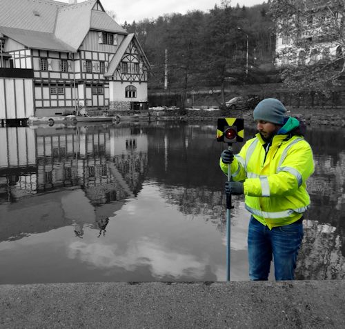
Water surveys often serve as the basis for hydrological studies and inundation models. Thus, the water-land boundary is very important.
Depending on the waters and tasks the water level or flow ist taken into considertation. In alpine rivers the effect of snowmelt naturally plays a major role.
Typical tasks include Surveying of structures such as bridges, inlets, weirs and groynes, and the Surveying of bank boards and the nearby hinterland, including natural or artificial embankments. For the detection of the river bed, usually a sonar is used..
⧉ Railway survey
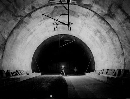
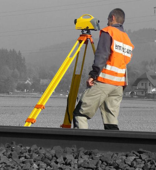
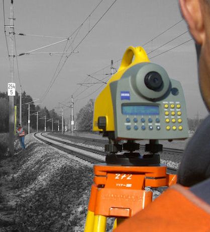
The essential basis of the Railway survey is the precise measurement of bolts in position and height, which are attached to the roadway poles.
The Surveying corresponds to a combination of network measurements and precision leveling.
SIG training sessions were completed already 2012.
⧉ Cubature determination
The civil engineer is a suitable neutral person for a professional and objective mass determination. The results are documented in maps, profiles and lists. They results provide information on unique billing amounts and costs.
⧉ Line Surveying
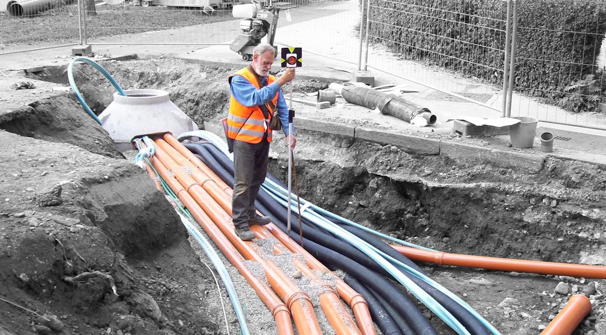
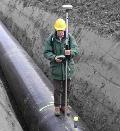
Underground facilities, such as wires, cables and pipes have to be well documented, so that the underground space for future, additional parallel or cross lines can be optimally used.
Land unfortunately is not renewable.
Line cadastre: For large pipe networks (.. For example, waterworks, lighting, electricity, etc.) running queries are required. The use of a geographic information system (GIS) is the most efficient way. We deliver specific data formats for your GIS.
⧉ Ropeway Surveying
The following items are required:
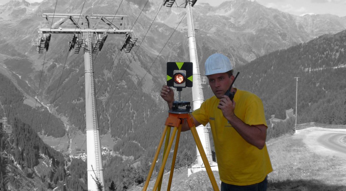
During construction precise stakeouts are necessary and during operation, depending on the geological conditions, periodic inspection checks (in position and height) are to be performed.
⧉ Road - Tunnel Survey
The field of Road Survey and Tunnel Survey covers so many points that not all can be adequately described on our website.
Just contact us in case of any questions or for more information.
