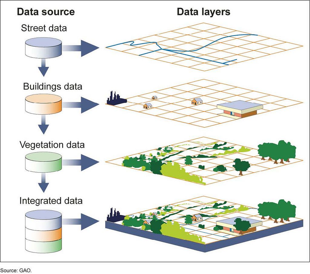
The field of geoinformation describes the analysis and visualization of underlying natural data. In CAD and GIS platforms, this data is prepared and enables fast and efficient queries and fast and targeted information. Possible examples would be:

Furthermore, geoinformation is about the provision of spatial information and the corresponding representations in the form of maps or models.
The basis for the information technology processing of geodata is the careful acquisition of natural resources by our surveyors.
When implementing geoinformation systems, special consideration is given to the wishes and requirements of the customer in order to be able to deliver tailor-made solutions.
Utilities Survey
For all pipelines, sewerage, water, gas, lighting, etc., the measurement and documentation of piping and house connections should be considered as standard in a single system. Because these lines are an essential part of community assets and indispensable for plant operators. The preparation and visualization of the data takes place in any data structure and is fully compatible with your GIS system.
We support the plant operators in the conception of a project and the handling of subsidies in cooperation with the building district offices and the urban water planers. We take over the creation of data, construct the pipeline and supply the data for CAD and GIS applications.

