Construction Plants, pipes, roads

Plants
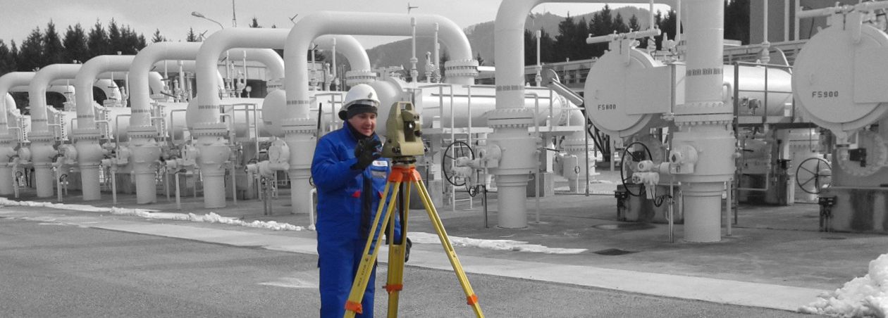
Basically plant construction follows the same procedures as in house construction. A higher increased accuracy is required. The desired specifications will be discussed with the client in advance.
Once the tasks and the scope of work are clear, the ideal measuring methods are chosen based on the specific requirements.
Line planning, line construction, line documentation (line cadastre)
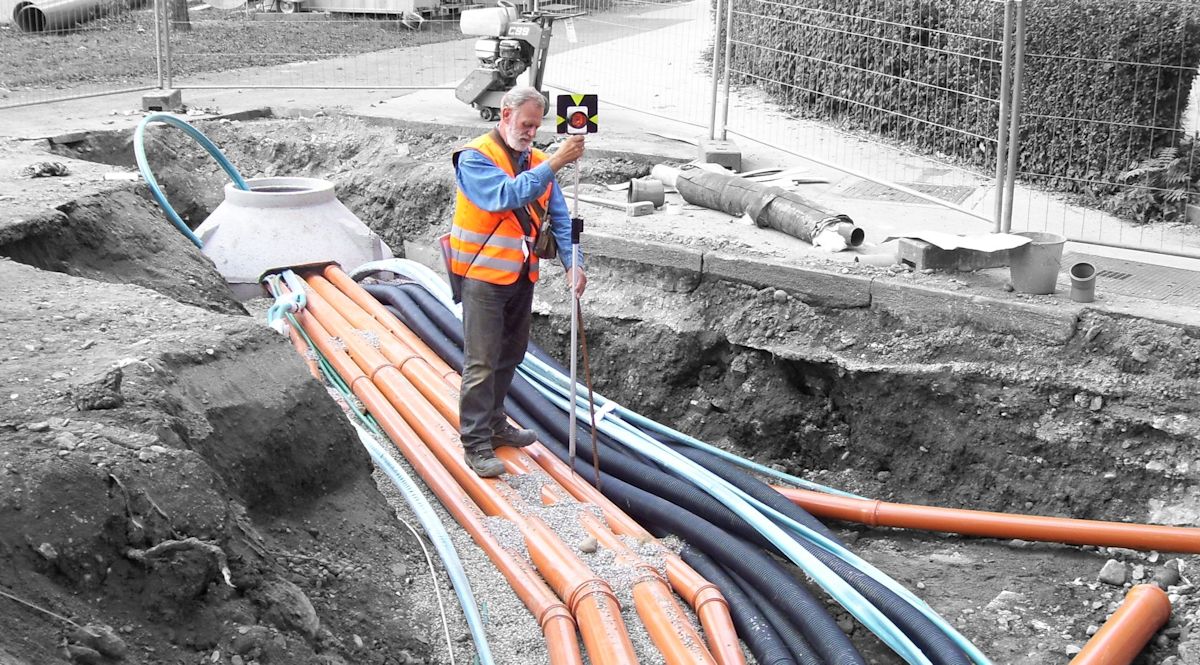
Planning and building a line requires a lot of surveying services, which usually start with topographical terrain survey along the route, continue with easements plans, include the stakeout of the route and the felling limits and include as well a current-state-survey during the construction.
In many areas, we are working with the planning office hand in hand - thus result in an efficient working process. We offer with our years of experience in the field of linesurveying a wide range of necessary services:

Line documentation for system operators and municipalities
For all line constructions (sewerage, water, gas, lighting,..) the surveying and documentation of those pipes and house connections should be done in a single system. These lines and cables are an essential part of the municipality assets and indispensable for the plant operator. The visualization of the results can be done in any system and is fully compatible with your own GIS system.
Traffic routes
Streets, roads, railways and lift lines all have in common that a current-state-survey (terrain, infrastructure, cadastral boundaries) has to be done. This survey is either used as a plannig basis or as a final documentation.
Once the plans are completed and the location of the project within the plot can be seen in the plans, the transfer of project coordinates in nature has to be done to ensure the execution quality in the position and height. During the building and construction process a check (control stakeout) provides safety, because at this time small corrections are still possible. Depending on the respective traffic route the required accuracies are useful discussed with the client in advance and adjusted thereafter.
After completion usually a new inventory plan is created, wherein the new property boundaries should be included.