customer-care / FAQ / cadastre-differences
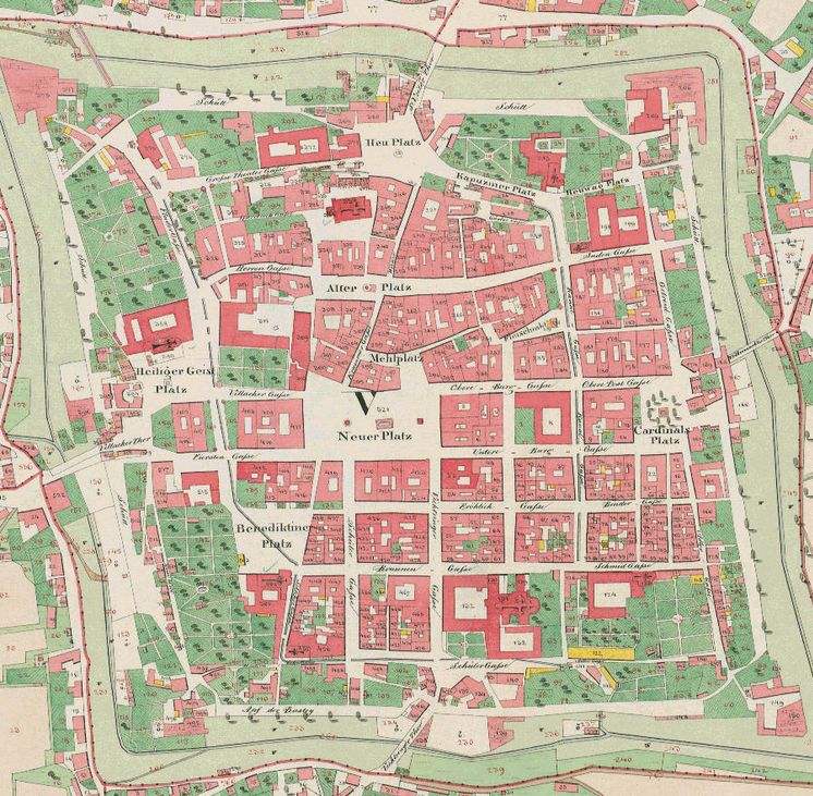
The history of today's cadastre begins in 1817, when the measurement of the Austro-Hungarian Empire was decreed by law, to provide the stipulation of property tax on an equitable basis.
The cadastre is next to the Land Registry, the second pillar of the Austrian system of property land securing. In the digital cadastral map (DKM), whose creation began in 1989, existing plans of the very first cadastre, the new cadastre and the previously valid cadastral map are incorporated. The DKM is only illustrative of the mutual position of the ground areas. The land register lists owners, rights and easements.


Only about 14% of all Austrian plots whose boundaries are defined by the formal requirements of the Survey Act 1968, enjoy the same legitimate expectations as the Land Registry. In all other cases the cadastral map gives no evidence about the actual border situation and the area extent.
For more information about cadastral differences please contact us directly.
For more information about cadastral differences please contact us directly.
The actuality of the cadastral map basically depends on the affected landowners and the relevant planning authorities.
According to § 44 VermG (surveying Law) owners and authorities are obliged to provide changes to property boundaries directly to official survey offices.